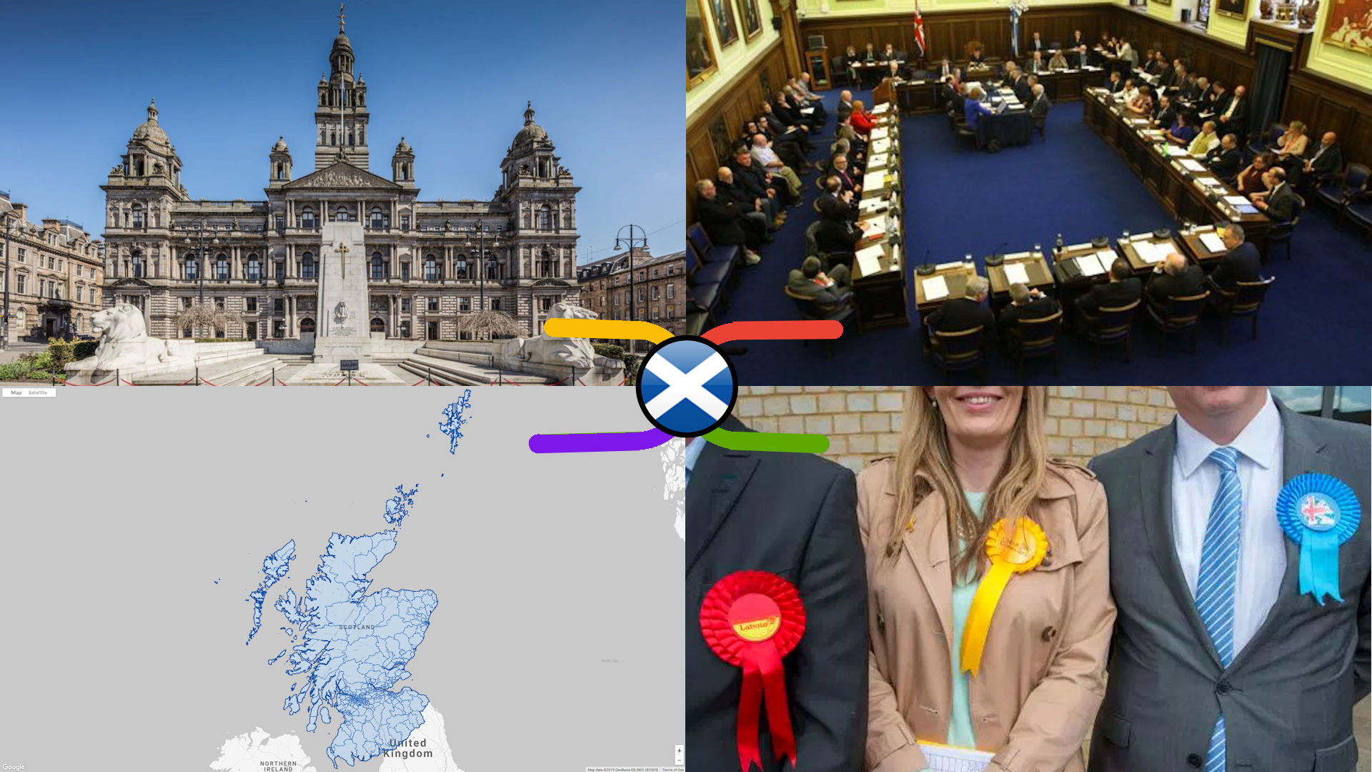
NEW FOR THIS EDITION – Updated for the local by-elections that have occured since the last edition of this map was published on 2 Feb 2020, with knowledge seed branches added for all the newly elected councillors (those of the predecessors are retained as sub-branches for reference). Quite a few of elections were scheduled from March to mid May, however only the earliest one took place as planned before the Coronoavirus Crisis caused the postponement of the others. The re-scheduled dates (where set) are in October & November this year, but it will depend on the public health guidance issued by the Scottish Government closer to the time as to whether they will go ahead as planned. Either way, we anticipate that it will be a wee while before we publish another update of this map.
Local Councillors
Maps pertaining to Scotland’s 1,227 local councillors, who run the 32 Local Councils. Councillors are elected nationally every 5 years (the last was 2017), as 1 of 3 or 4 elected members, in one of 340 multi-member wards.
NEW FOR THIS EDITION – Updated for the local by-elections that have occured since the first edition of this map was published on 9 October 2020. This includes links to the resources on the newly discovered Who Can I Vote For? by Democracy Club website, which contains crowd-sourced details of all the candidates standing in each ward or constituency at every UK local & parliamentary election / by-election since 2016.
There are 1,227 Local Councillors elected to 354 multi (3 or 4)-member Electoral Wards in Scotland’s 32 Local Councils every 5 years. Though these politicians fundamentally affect our lives on a day-to-day basis through enacting their own party’s local policies, and their oversight of bodies delivering essential services at the local level, it’s difficult to get the big picture AND the detail, AND how both have changed over time, in the one source. This first ever political knowledge map of Scottish Local Government helps solve that problem.

