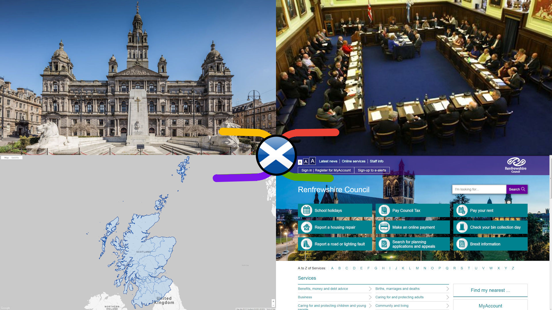
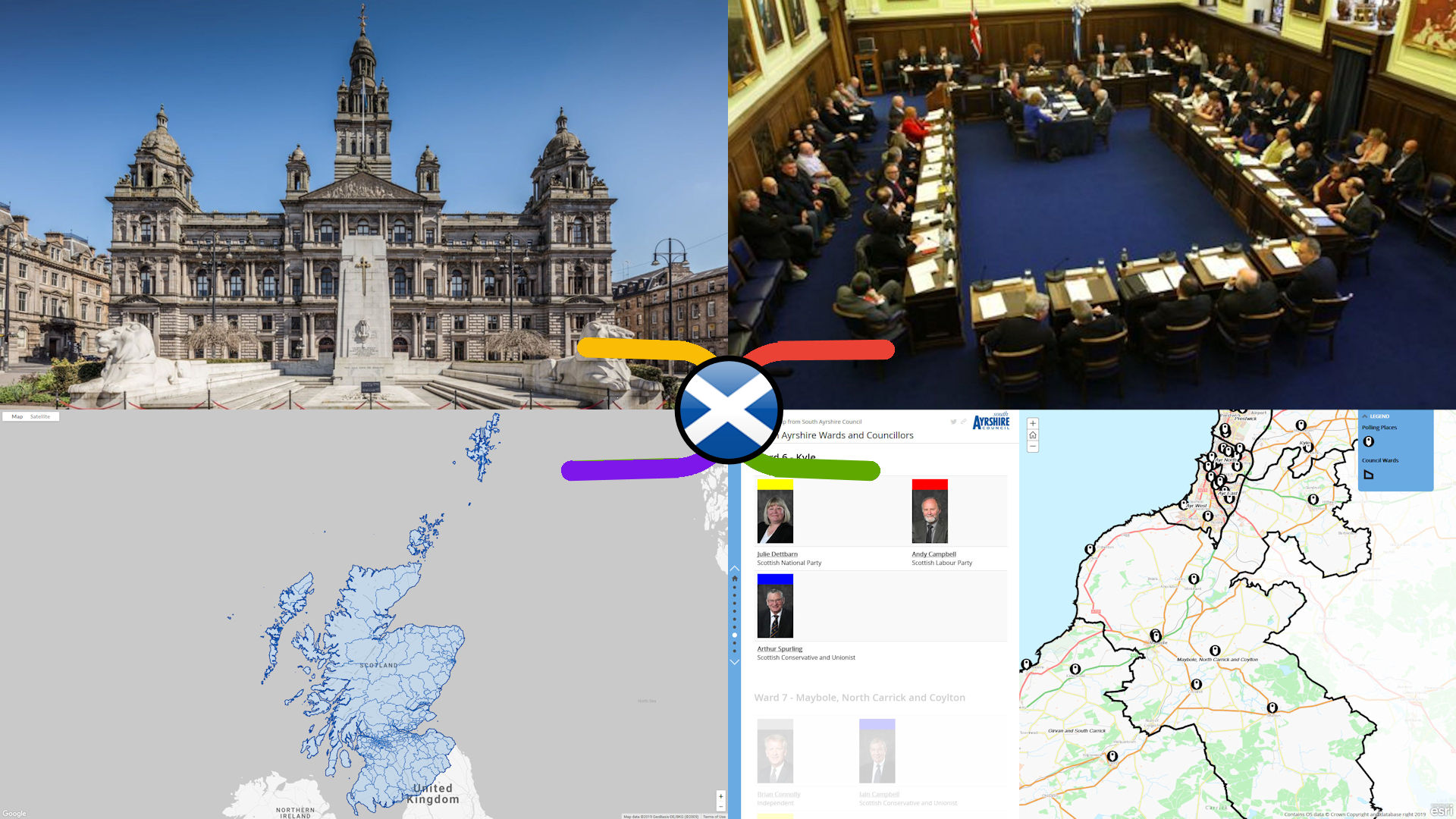
There are 354 Electoral Wards in Scotland’s 32 Local Councils, to which 3 or 4 local councillors are elected every 5 years (the last Scottish National Local Election was 4th May 2017). Obviously this is a political process with an unpredictable outcome, but this map is about connecting the general, geographic & electoral knowledge resources about them that remain valid no matter who is currently elected.

The geographies of Scotland’s 32 Local Council Areas dominate public life – whether that be through the planning, funding & delivery of public services to local communities, or local democratic oversight & accountability – so knowledge mapping them was one of the first priorites of the ScotlandtheMap project. This map of general & geographic knowledge resources about Scottish Local Council Areas is our first attempt. No doubt it will be udated on a regular basis as more knowledge resources are incorporated.

Member Login

Forgot Password?

Join Us